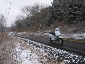
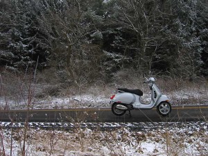
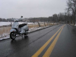
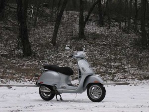
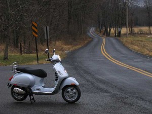
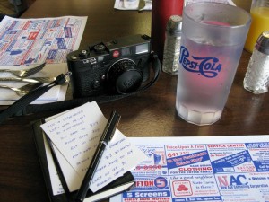
 My version of GPS is written on a plain index card. The night before I left on a ride last Monday I poured over the Pennsylvania Atlas looking at places I haven’t explored and made cryptic notes on the card so I would have a general idea of where to go. Paul was riding with me on his Kawasaki Concours and the plan was to ride south to Huntington to a diner for breakfast. Unfortunately my index card didn’t inform me it had been bulldozed to make way for a Rite-Aid. But who needs help finding a place to eat breakfast anyway?
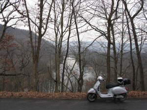 The ride to the diner was through familiar territory though we did take a few new roads that weren’t on the route scribbled on my card, one that had a nice view of the Little Juniata River winding through the countryside.
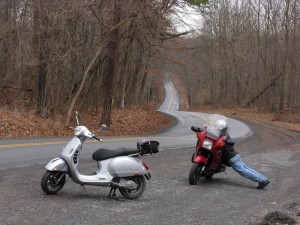 Even when I have no idea where I am I always know that I will emerge onto a road that is. Being lost in the East if more a figment of imagination than anything based in reality. At least in the manner that I describe lost. And there are always new things to see. Stopping for a picture gives Paul a chance to do a bit of back maintenance.
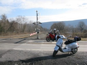 After breakfast we head south to pickup a road that will take us across the Juniata River. As we crossed the railroad tracks the signal begins to flash and I do a quick U-turn with the Vespa to take a picture of the train. I can see at least a half-mile in either direction and no train is in sight. After waiting five minutes the signal stops and the gates go up. So much for the train. As soon as I fire up the scooter the signal goes off again. Same thing, no train.
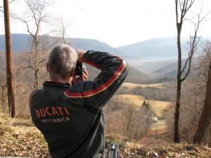 I forgot to point out that the temperature by 11AM was approaching 70 degrees. This in on January 7th. Winter in Pennsylvania. I felt like a tourist stopping to take pictures at all the scenic overlooks.
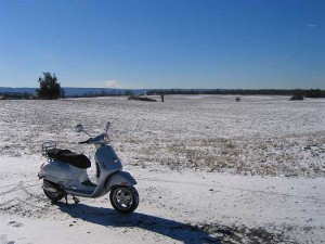
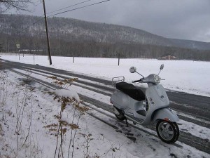
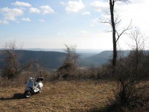 A GPS system only works if you pay attention to it. The same applies to the index card. And it doesn’t help much to pull it out of your pocket when you are 25 miles past a turnoff. I had a general idea of the direction we needed to go and with the sky clear and the sun out I knew where the compass points were to we rode on making a larger than planned loop through some of the southern coal regions of Pennsylvania and over more mountains until we got back on course. I was able to ride my scooter right off the road through the grass back to this overlook. The larger and less maneuverable Concours had to wait on the pavement.
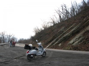 At the top of one mountain was a cell tower and our first coverage in quite awhile. I stopped to call home and let Kim know where we were and when to expect us home and Paul paused to do a little ebay business on his iPhone. He is trying to convince me that I could do Scooter in the Sticks with one. I think I might have to wait until Photoshop is available for the iPhone.
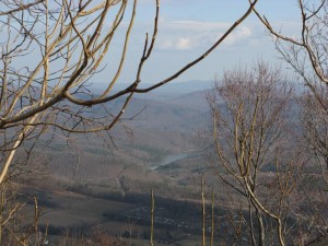 I was able to look back across the valley towards the southern end of Raystown Lake, one of the two big federal flood control projects that resulted in major bodies of water. This one has no horsepower limits so in the summer it is a nightmare of noise and speed. A friend and I canoed its length once and trying to cross from one side to the other was frightening. But that’s another story.
We still had another 80 miles to go before we would be home but were in familiar territory again. A stop for lunch, another to examine a Black Locust tree (another story), and a few more side adventures before riding onto a freshly opened segment of Interstate 99. Paul was kind by keeping his speed to 65 MPH so I could keep up as the highway rose and fell along the mountain.
We got home with another 167 miles on the odometer. No map, no GPS, just a partially utilized index card. And we were fortunate to be able to take advantage of unseasonably warm weather. It didn’t last long though. Temperatures are going down again and there is still plenty of time for winter to really visit.
